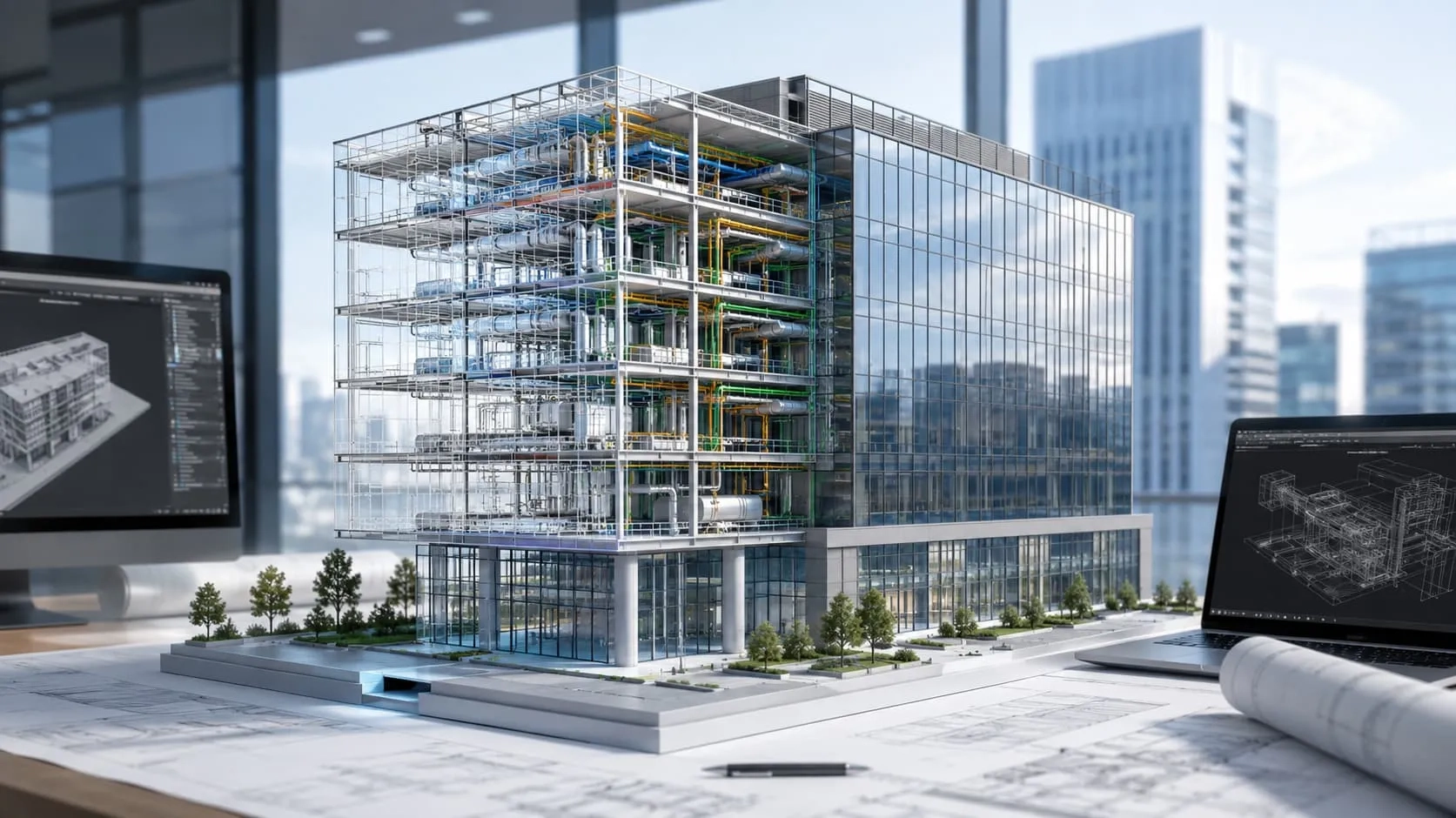
The construction industry is undergoing a profound transformation with the widespread adoption of Building Information Modeling (BIM), and nowhere is this more evident than in infrastructure projects. From roads and bridges to railways and airports, the integration of BIM has revolutionized the way infrastructure projects are conceptualized, designed, and managed. By providing a comprehensive digital representation of physical and functional aspects of infrastructure assets, BIM offers unparalleled benefits in terms of visualization, collaboration, and project efficiency. In this blog post, we explore the role of BIM in infrastructure projects, examining its impact, advantages, and applications in shaping the future of infrastructure development.
Unveiling the Benefits of BIM for Infrastructure in Future
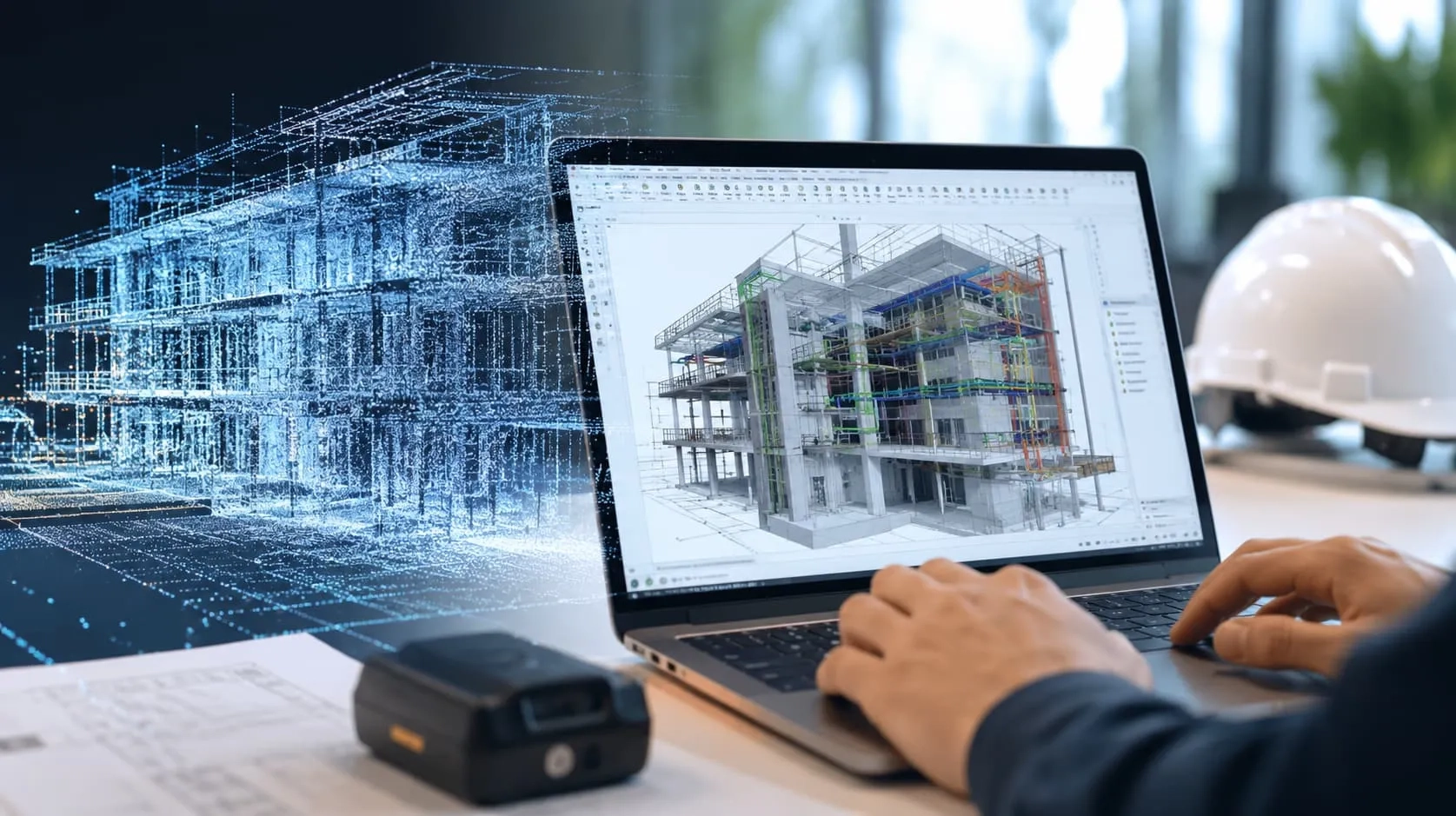
Enhanced Visualization and Design Coordination
Building Information Modeling (BIM) enables enhanced visualization of infrastructure projects, allowing stakeholders to create detailed 3D models that accurately represent the project's physical characteristics. This enhanced visualization capability facilitates better design coordination, as stakeholders can identify potential clashes or conflicts early in the design phase and make necessary adjustments to ensure smooth project execution.
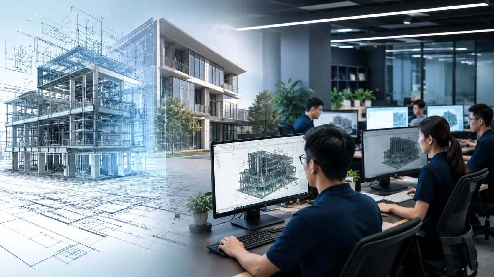
Improved Collaboration and Communication Among Stakeholders
BIM fosters improved collaboration and communication among stakeholders involved in infrastructure projects. By providing a centralized platform for sharing and accessing project information, BIM enables real-time collaboration and seamless communication between architects, engineers, contractors, and other project stakeholders. This enhanced collaboration leads to better decision-making, reduced errors, and increased project transparency.
Streamlined Project Workflows and Increased Efficiency
One of the key benefits of BIM for infrastructure projects is its ability to streamline project workflows and increase overall efficiency. BIM software allows stakeholders to automate repetitive tasks, standardize processes, and optimize project schedules, leading to improved productivity and faster project delivery. Additionally, BIM enables the integration of data from various sources, eliminating silos and ensuring that project information is easily accessible to all stakeholders.
Better Project Management and Cost Control
BIM facilitates better project management and cost control by providing stakeholders with greater insight into project performance and progress. Through BIM, project managers can track project milestones, monitor resource utilization, and identify potential cost overruns or delays in real-time. This proactive approach to project management enables stakeholders to make informed decisions and take corrective actions promptly, ultimately leading to better cost control and project outcomes.

Applications of BIM for Infrastructure Projects
There are a number of key areas where the emergence of BIM for infrastructure will be wildly successful. Such as:
Road and Highway Construction
In road and highway construction projects, BIM plays a crucial role in enhancing planning, design, and construction processes. BIM enables stakeholders to create detailed 3D models of roads, highways, and associated infrastructure, allowing for better visualization, analysis, and coordination. With BIM, stakeholders can simulate various design scenarios, assess traffic flow, and optimize road alignments to improve safety, efficiency, and sustainability.
Read more: How beneficial is BIM for road and highway design?
Bridge and Tunnel Projects
BIM is widely utilized in bridge and tunnel projects to streamline design, analysis, and construction workflows. BIM software allows stakeholders to create accurate 3D models of bridges, tunnels, and related structures, facilitating better visualization and design coordination. Additionally, BIM enables stakeholders to conduct structural analysis, assess constructability, and identify potential clashes or conflicts early in the design phase, minimizing errors and reducing project risks.

Railway and Transit Systems
Railway and transit systems benefit significantly from the application of BIM throughout the project lifecycle. BIM enables stakeholders to create comprehensive digital models of rail infrastructure, including tracks, stations, and signaling systems, providing valuable insights into project requirements and constraints. With BIM, stakeholders can optimize track alignments, assess station layouts, and simulate train movements to improve operational efficiency, safety, and passenger experience.
Airport and Port Infrastructure
BIM plays a vital role in the planning, design, and construction of airport and port infrastructure projects. BIM enables stakeholders to create detailed 3D models of terminal buildings, runways, aprons, and other facilities, allowing for better visualization and design coordination. Additionally, BIM facilitates the integration of various systems, such as baggage handling, security, and passenger flow, to optimize airport and port operations and enhance overall efficiency and functionality.
Read more: Exploring great benefits of BIM in airport construction.
Revolutionize Infrastructure Projects with Civil Infrastructure BIM Services from Harmony AT
As the construction industry continues to evolve, the demand for precise, efficient, and integrated design solutions has never been higher. At Harmony AT, we recognize the unique challenges faced in civil infrastructure projects and are proud to offer a comprehensive suite of Civil Infrastructure BIM Services designed to meet the needs of modern infrastructure projects.
Civil BIM Modeling Services
Our Civil BIM Modeling Services cover a wide range of infrastructure projects, including roads, bridges, tracks, and railways, etc. By leveraging advanced BIM technology, we create detailed and accurate 3D models that serve as the foundation for successful project execution. These models not only facilitate the visualization of complex structures but also ensure seamless collaboration among stakeholders, enabling more efficient design processes and reducing the likelihood of costly errors during construction.
Scan to BIM for Civil Infrastructure
Harmony AT’s Scan to BIM services transform existing infrastructure data into accurate BIM models, making it easier to manage renovations, retrofits, and expansions. Using state-of-the-art laser scanning technology, we capture precise as-built conditions of civil infrastructure, which are then converted into detailed 3D models. This process provides an invaluable resource for engineers and project managers, ensuring that every aspect of the existing structure is considered in the planning and design phases.
Civil Coordination & Clash Detection
In complex civil infrastructure projects, coordination between different disciplines is crucial to avoid costly delays and rework. Our Civil Coordination & Clash Detection services use BIM to identify and resolve potential conflicts between various systems early in the design process. By simulating the construction sequence and visualizing the interactions between different components, we help ensure that the final design is fully coordinated, minimizing the risk of clashes and streamlining the construction phase.
BIM for Infrastructure Asset Management
Beyond the design and construction phases, Harmony AT’s BIM services extend into the operational lifecycle of infrastructure assets. Our BIM for Infrastructure Asset Management services provide a comprehensive digital twin of your infrastructure, enabling more efficient maintenance and management. By integrating BIM data with asset management systems, we help you optimize the performance and longevity of your infrastructure, ensuring that it continues to meet the demands of its users for years to come.
With Harmony AT’s Civil Infrastructure BIM Services, you can be confident that your projects will benefit from cutting-edge technology, expert support, and a commitment to excellence at every stage of the project lifecycle.
Contact us here for making a bright future.
Categories