Point cloud data can be like a puzzle with missing pieces. When our models use this kind of data, they might not do their best job. In this discussion, we'll explore why imprecise point cloud data makes our models less effective. Let's dive in!
How Point Cloud Data Inaccuracy Affects Model Efficiency
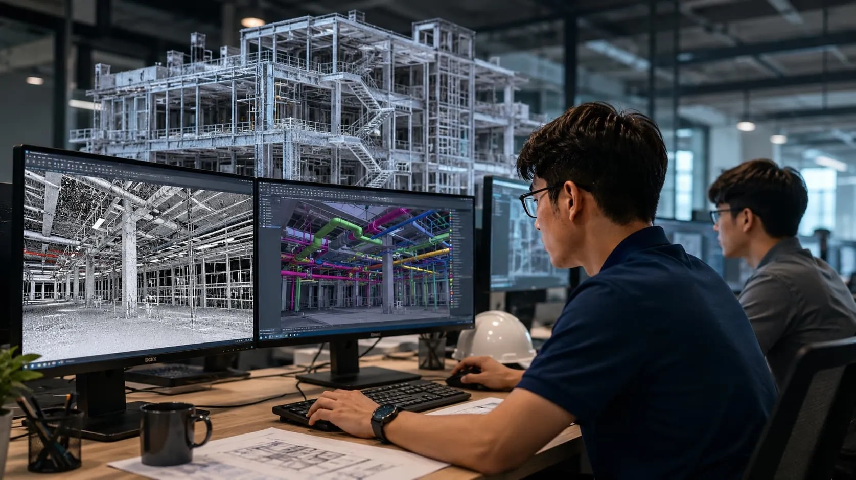
Imagine you have a 3D model of a house that you want to use for some project. This model is created using point cloud data, which is like having a lot of tiny dots in 3D space to represent the shape of the house. Each dot is a point, and they come together to make up the entire model. Now, if these points are not accurate, meaning they are not in the right place, it can cause problems. Here's how:
Incorrect Shape: If the points are not in the right spots, the model won't look like the real house. For example, if some points are too high, the roof might be floating in the air, and that's not how the real house is.
Gaps and Overlaps: Inaccurate points can create gaps or overlaps in the model. Imagine if some points are missing, and you end up with holes in the walls of your 3D house. Or if some points are too close together, you might have walls that overlap, which doesn't make sense.
Measurements Go Wrong: When you use the model for measurements or calculations, like figuring out the size of a room, the wrong points can lead to incorrect results. This could be a big problem if you're planning to build or remodel a house.
Problems with Movements: If you're using the model for something like a virtual tour, the inaccuracies can make it hard for people to move around inside the house. They might walk through walls or get stuck in strange places.
Slow Computers: Inaccurate point cloud data can also slow down your computer because it has to work harder to process all the incorrect information.

So, to make our 3D models efficient and useful, we need accurate point cloud data. If the points are in the right places, our models will look like the real thing, work properly, and help us with whatever we're trying to do.
Improving Point Cloud Data & Model Accuracy through 10 Principles of Quality Control
To make point cloud models super precise, we use certain rules, kind of like a recipe for accuracy. We've got 10 special rules to follow, and they help us make sure our 3D models are as exact as possible. So, let's dive into these simple and important quality control principles that make our point cloud models just right.
Getting Equipments Ready
Making sure the machines used to collect data are set up correctly is super important to get accurate results. We need to frequently double-check things like laser scanners and cameras to avoid any mistakes. Take LiDAR scanners, for example, when we adjust the settings inside the scanner, it helps us measure distances more accurately.
Checking the Data
Data checking means looking for mistakes and things that don't match up in the collected 3D data. You can do this by comparing the data from different scans. If the data doesn't line up right, it might show that there are problems with how the data was collected or put together. Fixing these mistakes can make the 3D model more accurate.

Making Data Fit Together
Usually, point cloud information comes from many scans or places. It's really important to line up these sets of data correctly to make sure everything is precise. There are computer programs like Trimble RealWorks or Leica Cyclone that help line up the scans and make them more accurate.
Cleaning Up the Data
Point cloud data can have messy and unneeded points, which can make it less accurate. To make it better, we can use tools that sort out the bad points, like plants or extra noise. Filters, like the one in the Point Cloud Library, help a lot by getting rid of those unimportant points and making the data more precise.
Keeping Data Spaced Evenly
It's essential to have the same number of points spread evenly in the model for it to be precise. If the points are not evenly spread, there can be gaps or mistakes in the model. You can make it better by putting more or fewer points in some areas to even things out and make it more accurate.
Mixing Different Kinds of Data
Using information from different tools like LiDAR and photos can make the model more accurate. When we put together data from these different sources, we get a better picture of the place, which means we're less likely to miss things or make mistakes.

Checking with Real Measurements
To make sure point cloud models are right, you need to check them against real-world data. This real-world data can be gathered by measuring things manually or using old-fashioned surveying techniques. By comparing the point cloud model with this real data, you can see if it's correct and find any mistakes.
Finding and Reporting Mistakes
Using a clear way to look for and report mistakes is very important. When you find errors or things that don't match, you should write them down and fix them quickly. This helps make the model better and better as time goes on.
Saving Data Space
It's really important to save space and keep big point cloud data neat. We can do this by using special methods to shrink the data, like LAS or LAZ files. This makes sure the data stays accurate, takes up less space, and makes it easy to share with others.
Always Keeping an Eye on Quality
To make sure things are good, you should keep checking them during the whole project. It's important to regularly look at the data quality, make sure the tools are working right, and process the data correctly. This helps to keep the point cloud model really accurate.

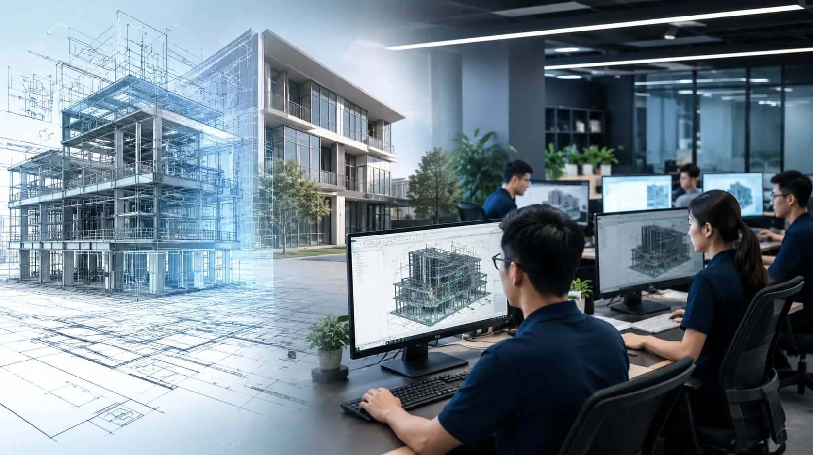
Harmony AT’s Point Cloud to Data BIM Services
Harmony AT is a leading provider of Point Cloud to Data BIM Services. Our team of experienced professionals utilizes cutting-edge technology to transform raw point cloud data into valuable Building Information Models (BIMs). We offer a comprehensive suite of services, including point cloud cleaning and editing, 3D modeling, BIM generation, clash detection, and as-built documentation. Our BIMs help our clients improve project planning and coordination, reduce construction costs and errors, enhance facility management, and increase building sustainability.
Read more: Point cloud to BIM services - Scan to BIM Services - BIM Outsourcing
To learn more about our services, please visit our blog post: Point cloud to BIM services. Or you can click here to get more information about this topic.
Categories