Imagine two powerful tools: BIM and GIS. They're like superheroes in the world of technology. BIM helps with construction and design, while GIS uses maps to help us make smart choices based on location. In this journey, we'll learn how BIM and GIS are different and how people use them in planning and design. Let's explore these amazing tools and their roles in our world.

Definition of BIM and GIS
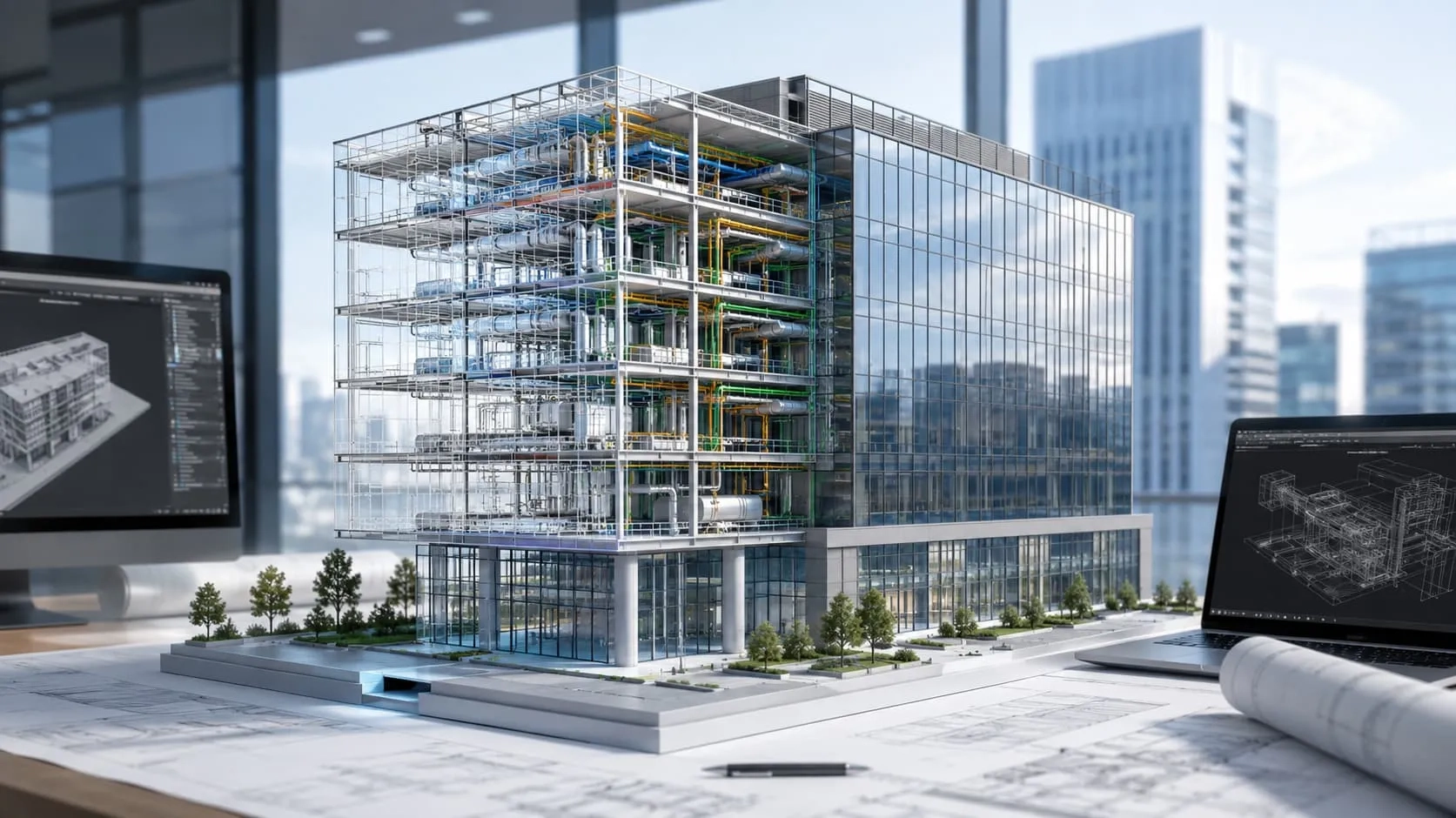
Building Information Modeling (BIM)
BIM is like a big digital filing cabinet for buildings and stuff like roads. It has pictures and info about how things look and work. People use it to share info, manage files, work together, and plan how to build things over time. Some software for BIM includes Revit, Navisworks, AutoCAD 3D, Civil 3D, and more.
Read more: What is Building Information Modeling (BIM)?
Geographic Information System (GIS)
Think of GIS as a powerful digital brain for our planet. It gathers, stores, analyzes, and displays geographic data on everything from weather patterns to population density, from earthquake zones to buried infrastructure. It's not just about pretty maps; it's about connecting the dots, making sense of our world, and empowering us to make informed decisions.
With GIS, urban planners can design sustainable cities, and businesses can optimize logistics and reach new markets. Farmers can monitor crop health, disaster relief teams can map devastation, and conservationists can protect endangered species. It's a tool that transcends disciplines, empowering anyone to explore, understand, and ultimately, shape our world.
How GIS and BIM Work Together Hand in Hand
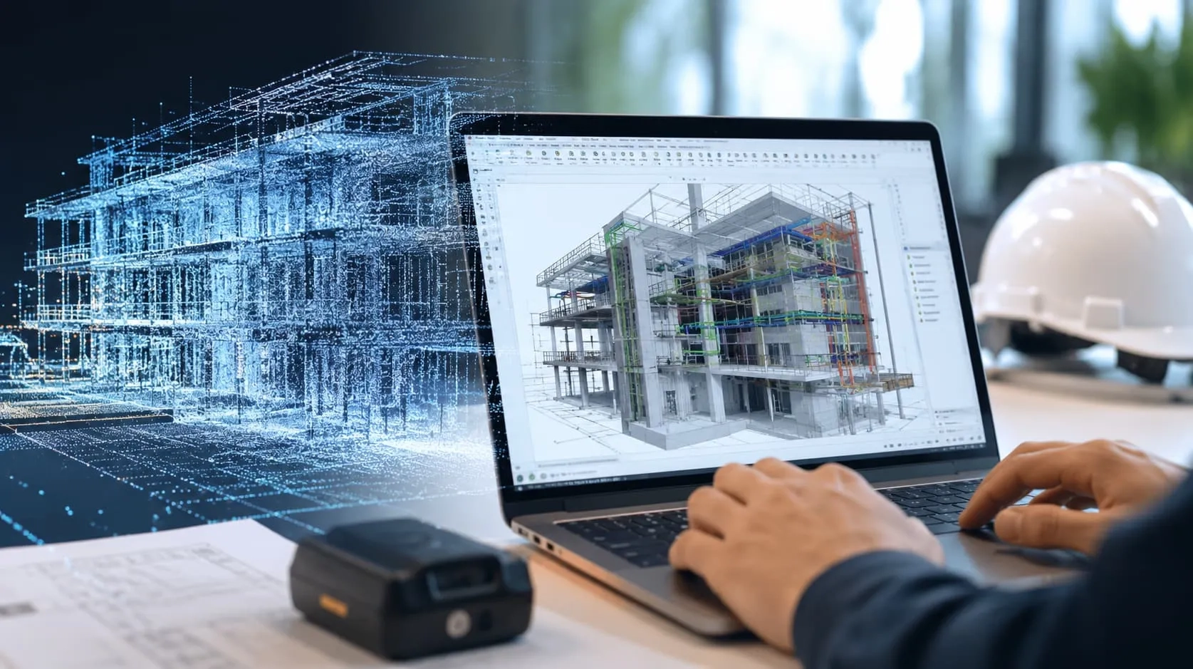
While BIM delves into the intricate details of designing and building individual structures like roads, bridges, and airports, GIS paints the broad strokes, ensuring these structures are nestled seamlessly within their environment. By marrying BIM's microscopic precision with GIS's sweeping geographical context, we unlock a world of benefits for construction and beyond.
Imagine feeding GIS's geospatial intelligence – data on terrain, infrastructure, and environmental factors – directly into the BIM model. This enriches design decisions, influencing optimal building orientation, selection of construction materials, and even placement within the landscape. Suddenly, structures aren't isolated entities; they're informed by their surroundings, leading to better integration and potentially lower construction costs.
Data seamlessly flowing between GIS and BIM eliminates redundancy, simplifying management and enabling multi-purpose use. Imagine a cloud where both sets of information reside, readily accessible for stakeholders. No more tedious data conversions – just an efficient ecosystem where every bit of information works in concert.
From planning sustainable cities to optimizing infrastructure networks, the synergy between GIS and BIM promises to revolutionize construction. By introducing the spatial dimension into the information-rich world of building, we pave the way for smarter, more efficient projects that are truly in tune with their surroundings.

Common Misunderstandings Regarding the Integration of BIM and GIS
Many people have wrong ideas about combining GIS and BIM, often because they don't know the latest facts about these fields. Let's look at some common mistakes people make about GIS and BIM coming together:
Dedicated File Format for GIS & BIM Integration
In the past, it was easier to connect different systems and share information between them, especially when they used similar formats. But as technology advanced, this old method became less effective.
Nowadays, when you want to combine very different technologies like BIM and GIS, it's a big challenge. There's so much data to handle, and it's tough to exchange information quickly using the old file formats.
Additionally, matching data between these complex systems is difficult, and industry standards keep changing. Trying to create a single format that can handle everything BIM and GIS can do is almost impossible. It would either be too slow or too complicated.
BIM Content Incompatible with GIS Software
Some people think BIM data can't be used in GIS software because of size and complexity. They often mention the need for special file formats. But there are many GIS programs, like ArcGIS, that can use BIM data without any problems.
Full BIM Data Easily Stored in GIS
People might think GIS could work as a database for BIM models because BIM documents, often stored as BIM files, are crucial for various tasks like analyzing defects or dealing with legal matters. But making GIS connect to BIM files and setting up the necessary legal systems is very complicated. It would take many years, possibly even decades, to make this a common practice.
BIM Includes Built-In GIS Features
People sometimes think that a ready BIM model can be directly used for constructing a real object, but that's not true. BIM models may lack important mapping and geospatial data needed for real-world implementation.
To make GIS and BIM work together effectively, especially for future GIS work, it's essential to decide what data is needed and organize it early in the BIM process. This is similar to how CAD and GIS data used to be checked and prepared for GIS use.
Limited Usefulness of BIM
Many GIS experts believe that BIM is only useful for specific tasks like visualization, facility management, or 3D modeling. However, this belief is incorrect because BIM has a broader range of applications.
BIM helps save resources (money and time) by optimizing and coordinating the design and construction processes. A 3D BIM model is a result of BIM processes that require a unified model for various tasks, from initial design to calculating demolition costs. 3D visualization is crucial for understanding the project's appearance and technical aspects.
Efforts are also underway to use BIM data for asset management in operational workflows, with many countries standardizing BIM requirements. Integrating BIM with GIS isn't as simple as transferring a 3D model from BIM to GIS software because both BIM and GIS offer different perspectives on the same task, whether it's a building or infrastructure asset.

Benefits of BIM and GIS Integration
By weaving the detailed precision of BIM models with the expansive context of GIS data, we unlock a treasure trove of benefits:
Smarter Design
GIS feeds BIM models with vital geospatial intelligence – from terrain and weather patterns to existing infrastructure and environmental factors. This empowers informed design decisions, leading to structures that are better integrated with their surroundings, optimized for performance, and potentially more cost-effective to build.
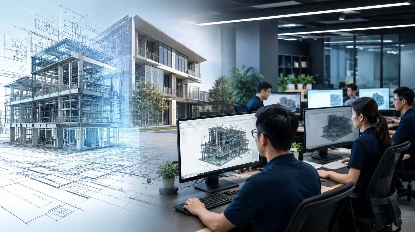
Enhanced Collaboration and Communication
With a shared platform housing both BIM and GIS data, stakeholders across disciplines can access, analyze, and share information seamlessly. This fosters transparency, eliminates communication silos, and facilitates collaborative decision-making, paving the way for smoother project execution.
Reduced Risks and Costs
The comprehensive data picture provided by BIM-GIS integration allows for proactive risk identification and mitigation. Potential clashes with existing infrastructure, unstable terrain, or environmental concerns can be flagged early, saving time, money, and headaches during construction.
Sustainable Infrastructure Development
With access to geospatial data on resources, energy consumption, and environmental impact, BIM-GIS models can be used to design and build sustainable infrastructure. From optimizing energy efficiency to minimizing environmental footprint, the integration empowers us to build for the future while respecting the planet.
BIM and GIS integration isn't just about technology; it's about a paradigm shift in how we approach construction. By bridging the gap between detailed design and broader context, we pave the way for smarter, more efficient, and sustainable infrastructure that is truly in tune with the world around it.
Conclusion
When it comes to harnessing the power of BIM/CIM modeling for your projects, look no further than Harmony AT. With over two decades of experience serving clients worldwide, including in countries like Germany, Japan, US, UK and beyond, we have earned a reputation for excellence in this field.
Our seasoned team of BIM/CIM consultants employs cutting-edge software to craft precise and comprehensive models tailored to your project's unique needs. These digital models encompass intricate details of architectural, structural, MEP, and facade building components, complete with geometry and material estimations, among other essential data points.
By choosing Harmony AT's BIM/CIM modeling services, you're not only reducing the risk of errors but also enhancing communication and enabling your business to make informed decisions. Take the first step towards transforming your projects with our expertise – contact us today to explore how we can elevate your endeavors. Visit our contact page here to get in touch.
Categories