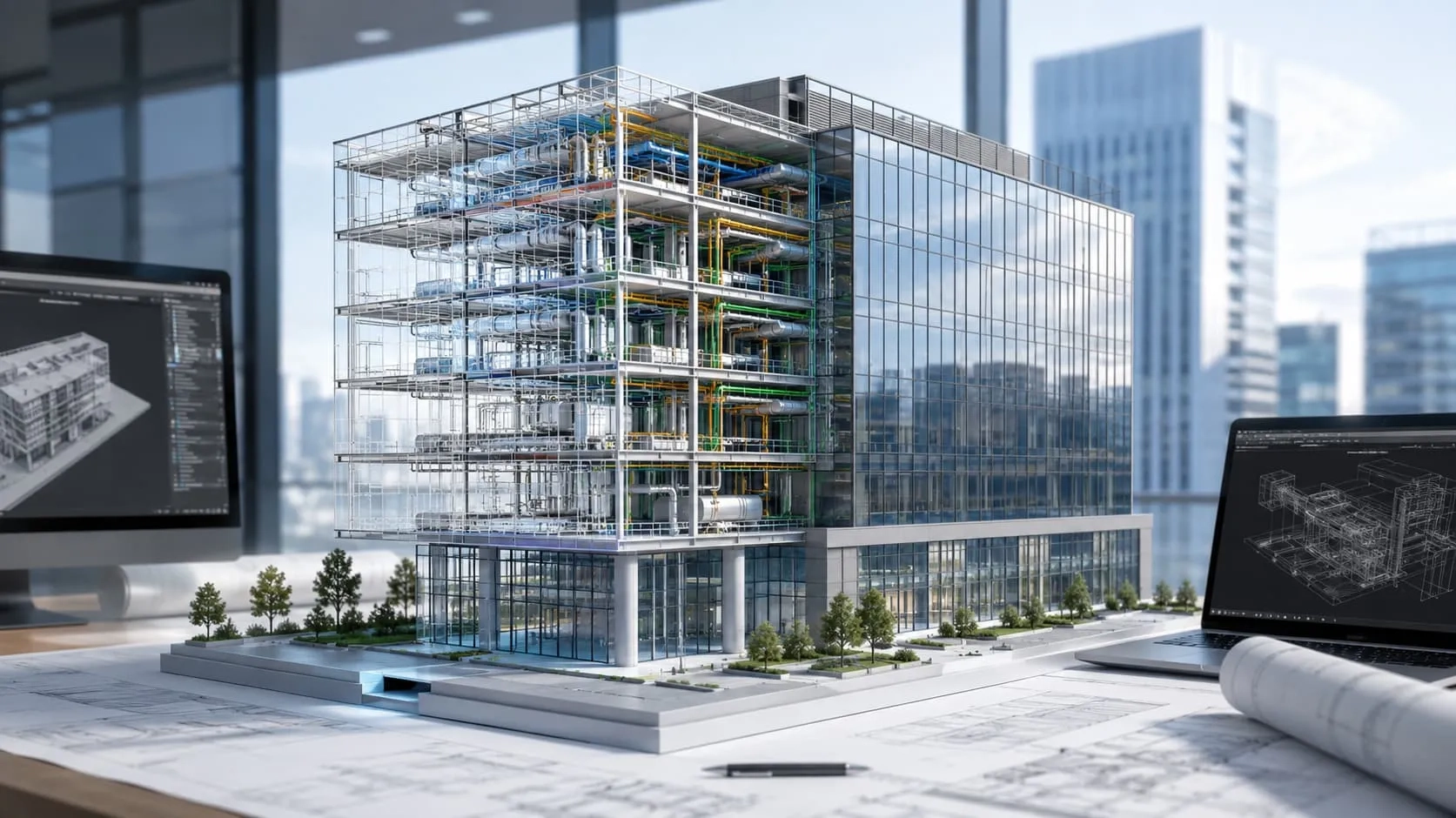
In the world of construction, there's a remarkable technology that's making a big difference: point cloud technology. It might seem complex, but it's really easy. Think of it as a super-smart way to use computers to help builders do their job better, faster, and more accurately.
Point cloud technology is like a magic wand that helps construction teams work together smoothly and get things right the first time. In this article, we'll explore how this technology is driving efficiency, accuracy, and collaboration in construction, and why it's becoming a game-changer for the industry. So, let's dive in and discover the exciting world of point cloud technology!
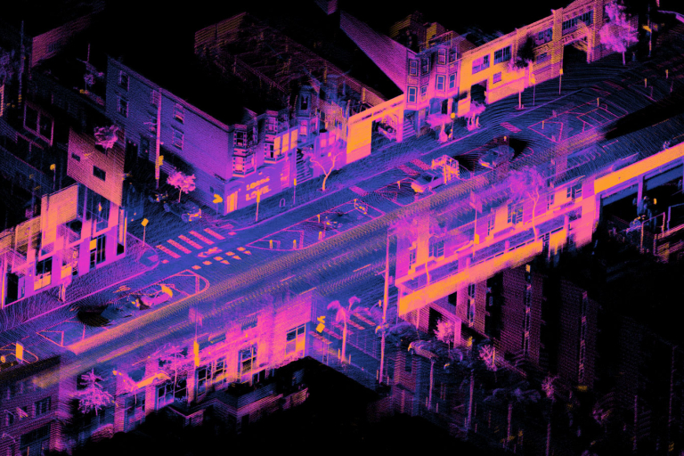
What is a Point Cloud?
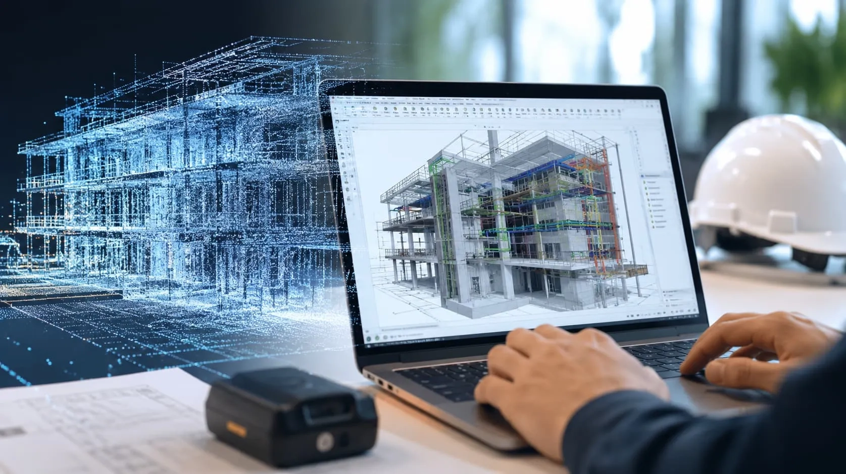
A point cloud is a set of data points in space, each with its own unique coordinates. These points can be generated from a variety of sensors, such as LiDAR (Light Detection and Ranging) scanners, photogrammetry software, and time-of-flight cameras.

How to Generate a Point Cloud?
There are a few different ways to generate a point cloud.
- LiDAR (Light Detection and Ranging) is a method that uses lasers to measure the distance between the scanner and the object being scanned. The data from the LiDAR scanner can then be used to generate a point cloud.
- Photogrammetry is a method that uses multiple photographs of an object to generate a 3D model. The photographs are taken from different angles, and the software uses the overlapping images to create a point cloud.
- Stereo vision is a method that uses two cameras to generate a 3D model. The cameras are positioned so that they have a view of the object from slightly different angles. The software uses the images from the two cameras to create a point cloud.
Once a point cloud has been generated, it can be used to create a 3D model of the object or environment. Point clouds can also be used to measure distances, volumes, and other properties of objects.
Here are the steps on how to generate a point cloud using LiDAR:
- Collect LiDAR data. This can be done using a LiDAR scanner mounted on a tripod, a car, or a drone.
- Register the LiDAR data. This involves aligning the LiDAR data from different scans so that they form a coherent point cloud.
- Filter the LiDAR data. This involves removing noise and other unwanted data from the point cloud.
-
Visualize the point cloud. This can be done using a variety of software packages.

Here are the steps on how to generate a point cloud using photogrammetry:
- Collect photographs of the object or environment. The photographs should be taken from different angles, and there should be some overlap between the photographs.
- Process the photographs. This involves extracting features from the photographs and matching features between overlapping photographs.
- Generate a 3D model. This is done by using the features from the photographs to create a 3D model of the object or environment.

Here are the steps on how to generate a point cloud using stereo vision:
- Collect images of the object or environment. The images should be taken from two cameras that are positioned so that they have a view of the object from slightly different angles.
- Calibrate the cameras. This involves measuring the distance between the two cameras and the angle between their lenses.
- Match features between the images. This is done by using a feature detection algorithm to find features in the images and then matching those features between the two images.
- Generate a 3D model. This is done by using the matched features to create a 3D model of the object or environment.

Advantages of Point Cloud Technology
Precision
While computer-aided BIM designs rely on theoretical planning, point clouds can align digital models perfectly with physical spaces. This means you can get highly detailed depictions of hard-to-reach areas like plenums.
Ability to Collaborate Remotely
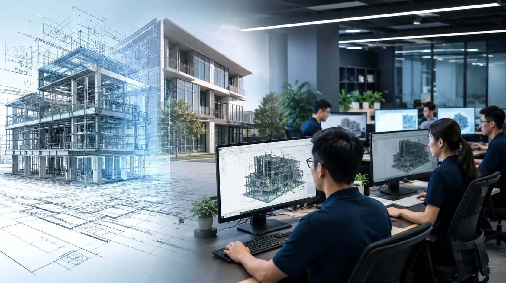
Point cloud data seamlessly integrates with BIM software and remote collaboration processes, making it a top choice for those working from home. Even in a world affected by a pandemic, this technology allows for virtual site visits.
Working together on a project becomes easier with point clouds. Project partners can communicate remotely using a virtual, 3D, 360-degree model. Any changes made to the model are immediately visible in virtual reality (VR), providing clients and stakeholders with an up-to-date representation of the project's progress.
Saving Time and Money
Laser scanning for surveys is efficient and reduces the need for a large workforce. Instead of training a group of technicians and sending them to the site, a company can invest in laser scanning equipment, which is a simpler and cost-effective solution.
In contrast, traditional surveying techniques tend to be expensive, while point cloud BIM modeling proves to be highly advantageous for construction planning and budgeting.

How to Use Point Cloud Technology in the Construction Industry?
These are some common ways to use point clouds in the building world, and I'll explain them using simpler words and examples:
Floor Planning: Point clouds help make floor plans faster and more accurate. Instead of using tools like lasers or surveys, you can either draw the floor plan by looking from the top or let smart software do it for you. For instance, imagine you want to plan the layout of a house. You can use a special computer program that uses point clouds to quickly draw the rooms and walls.
Building Information Modeling (BIM): Point clouds help create a digital model of a building. This model is like a detailed map that shows everything in the building. It's helpful to compare how a building is designed to how it really is. Think of it as making a detailed map of your house with all the rooms and furniture, and then you can check if everything matches the plan.
Construction Progress Tracking: By regularly taking point cloud snapshots while building, you can keep track of what's done, when it's done, and where. You can do it manually or use computer tools to see how construction is progressing. It's like taking pictures of your house while it's being built, and you can use these pictures to see how much work has been completed and if it's on schedule.
Digital Twins: A point cloud can create a 3D model of something, like a building or a machine, which is called a digital twin. This model can connect with real things using sensors and can help you monitor, simulate, or control them. Think of it as having a virtual copy of your car that can tell you when it needs maintenance and can even drive itself in a simulation.

Our Point Cloud to BIM Services
Harmony AT's Point Cloud to BIM Services is a comprehensive solution that helps you create accurate and detailed 3D models of your buildings or structures. Our team of experts uses the latest laser scanning technology to collect data, which is then converted into a Building Information Model (BIM). BIM models are digital representations of buildings that include all of the information needed for construction, renovation, and maintenance.
To learn more about how our services can benefit your project, please visit our blog post: Point Cloud to BIM Services.
If you have any questions, click here to contact us. We’re always ready to answer all your questions.
Categories